Hurricane Plan Updated in Midst of Storm Season

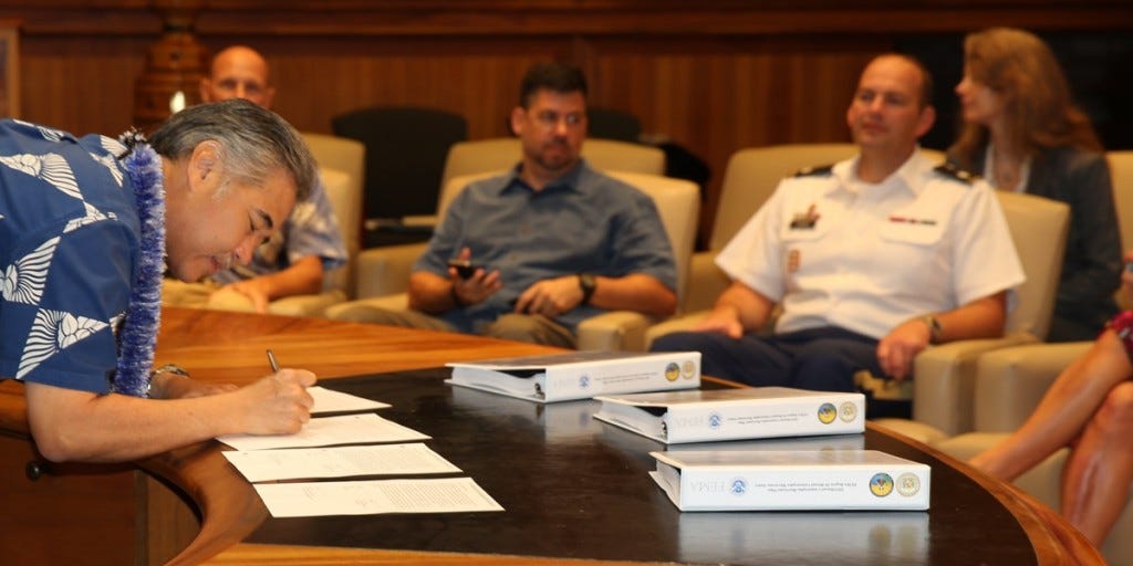
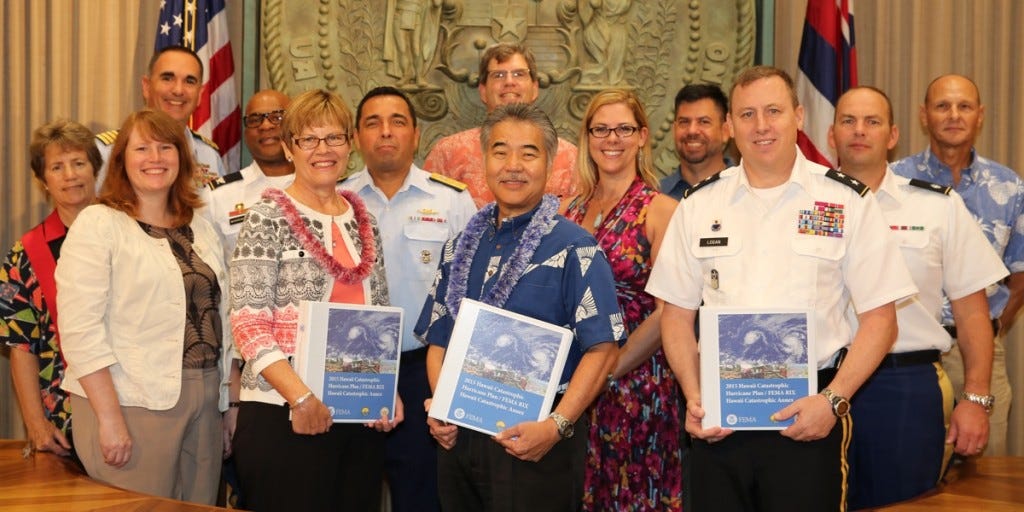
State and federal emergency management officials yesterday signed an updated Catastrophic Hurricane Plan for Hawaii, as Hurricane Hilda churns slowly toward the islands.
Emergency preparedness is a common summer theme in Hawaii, with hurricane season running from June through November every year. Less than two weeks ago, the City & County of Hawaii announced revised tsunami inundation maps that cover the hopefully rare "extreme tsunami."
While there was a lot of background available at the city's unveiling, yesterday's signing ceremony at the governor's office yielded only a brief blurb. Doug Mayne, outgoing administrator of the Hawaii Emergency Management Agency, explains in the statement: “The Catastrophic Hurricane Plan provides strategies for joint state and federal actions before, during, and after a catastrophic event."
The plan looks like an update, or annex, to the 2009 Hawaii Catastrophic Hurricane Operations Plan (OPLAN), which itself was a "Version 2.0" document. At the time, Hawaii was the first state in the nation to implement the Federal Emergency Management Agency's "Integrated Planning System," intending to establish a template for joint federal, state, and local disaster planning.

Lest you think the plan will just be put on a shelf and forgotten, you should know that the Hawaii Catastrophic Hurricane Plan was activated twice last year, first in August for Hurricane Iselle, and then again in October for Tropical Storm Ana.
You might also consider the dangers of not having a plan. Many regions and states have FEMA-mandated plans for hurricanes, and there was a "Southeast Louisiana Catastrophic Hurricane Plan" in the works as early as 2003. It even predicted the threat of a massive storm hitting New Orleans. But it was not completed, nor distributed, and FEMA officials were emailing each other trying to find a copy before Hurricane Katrina hit in 2005.
It's not easily developing a plan that spans different government agencies at different levels. And it's even more challenging when the plan for plans changes, too.
I tried to learn more about FEMA's "Integrated Planning System," adopted after the agency became part of the Department of Homeland Security. It was based on joint operations plans used in collaborations among different branches of the military. But while the IPS set the framework for Hawaii's 2009 plan, it turns out the IPS was replaced in 2011 by a different standard: FEMA's National Preparedness System, which was born in 2006 specifically because things went so badly with Hurricane Katrina.

Although the state's announcement yesterday doesn't explain how the new plan is an "annex," I would guess that the process to create the latest document was driven in part by the change in FEMA's planning requirements.
And while the new plan is not yet posted online, the 2009 edition (available from a city website) is about 30 pages long. The binders on Gov. Ige's desk yesterday look considerably thicker. That plan was based on a scenario in which a Category 4 hurricane makes landfall on Oahu but is "scalable to address response to hurricanes of lesser severity or landfall impacting neighbor islands."
"The two-year planning process we underwent places us in a great position to collaborate with our federal partners, state and county agencies, non-profits, the private sector and local communities to ensure we minimize suffering from the impact of a catastrophic hurricane," Mayne says.


